
Madison Smith
msmith219426@gmail.com
A recent study on the Mitchell-McDowell boundary line was conducted by the state in February. Since its inception in 1861, Mitchell County’s boundary line has not changed but has rather been charted more accurately as new technologies have been invented.
The original borders for Mitchell and McDowell counties were drawn by map in 1861, leading to discrepancies and confusion in how to tax those living on the border. Physically, the border was determined by landmarks and rivers between the two counties, as the original boundary line law reads.
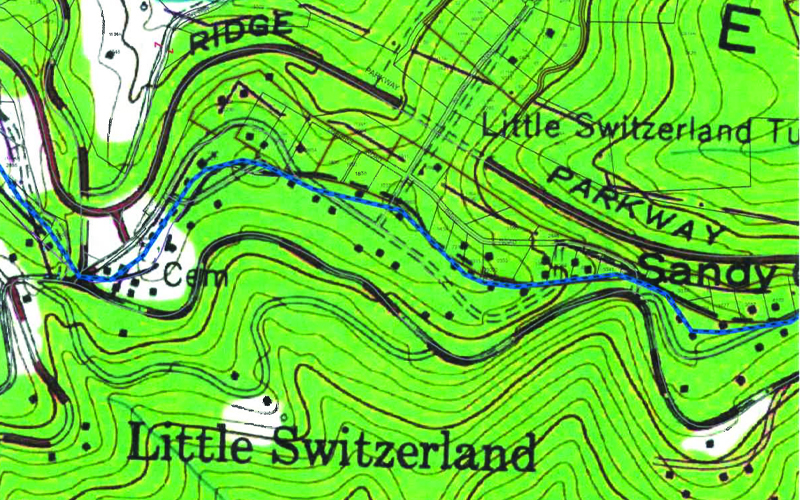
While few residents originally lived on the boundary line, the area is now bustling with activity, namely in Little Switzerland. In 2009, Mitchell and McDowell counties requested the Geodetic survey to resurvey the border of the counties. This was done by a federal agency to determine the precise points of the border. The Geodetic survey utilizes LiDAR, or light detection and ranging, which is the most precise technology available for mapping. There are roughly 100 properties on the county line.
Those living on the border should expect changes coming within the year. County changes may affect school attendance, voting, taxation, and services rendered, such as EMS, fire, and law. “Both counties will match up now,” said Blair Heider, current Mitchell County Tax Assessor. “The intent is to have one seamless map for the entire state that has everything.”
In its entirety, the boundary line has not changed but has rather been charted more accurately. The updates to the map will lead to less confusion and will provide clarification to affected residents.